ESA entrusts its 500 petabytes of Earth observation data to OVHcloud and CGI: why it matters for Africa too
France’s OVHcloud will provide the cloud and Canada’s CGI the architecture of Digital EO, the future European platform for satellite data. That data is also used to monitor crops, forests and floods in Africa.
- ESA has chosen OVHcloud (cloud) and CGI (architecture) to build Digital EO, its Earth observation data platform.
- A multi-million-euro contract over 30 months; more than 500 petabytes of data expected by 2035.
- The central argument is European digital sovereignty.
- Copernicus data, which is free, is widely used in Africa for agriculture, forests and disasters.
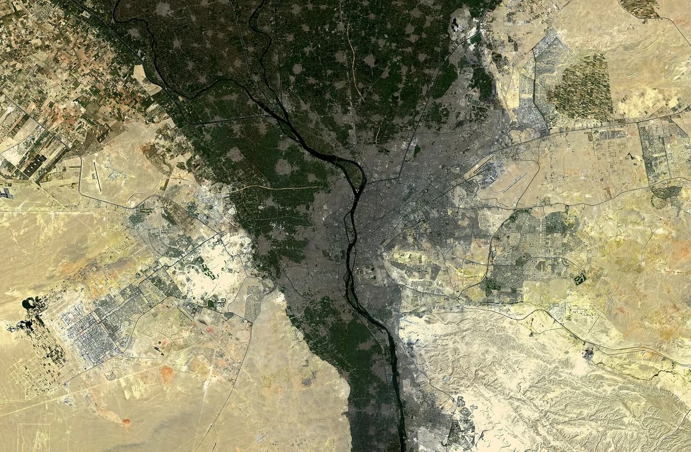
The European Space Agency (ESA) has chosen France’s OVHcloud and Canada’s CGI to build Digital EO, its future information system for Earth observation. The contract, estimated at several million euros over thirty months, was announced on 28 September 2026. The stakes go beyond technology: the volume of Earth observation data is expected to exceed 500 petabytes by 2035, the equivalent of four million 128-gigabyte phones.
For Europe, it is above all a question of digital sovereignty: keeping control of the infrastructure that stores and processes strategic data. For Africa, it is also a practical matter, because data from European satellites, particularly those of the Copernicus programme, is free and widely used on the continent.
Who does what
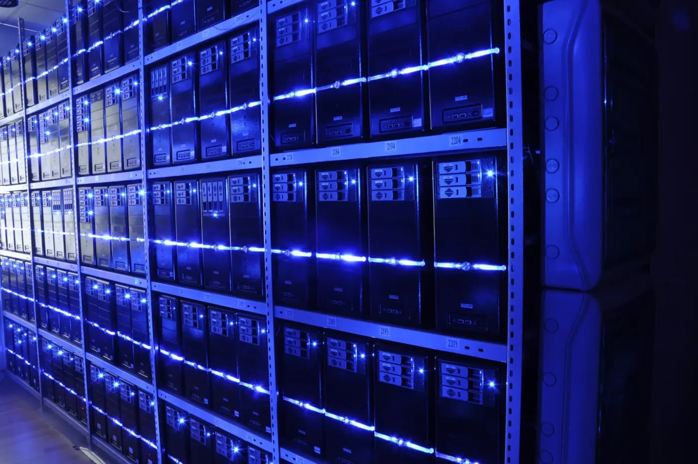
According to Clubic, the roles are clearly divided. OVHcloud provides the foundations: computing power, storage, network and managed services. The system will first be deployed in Italy, France and Germany, with support run from Poland, and could later extend to other European countries, or even Canada. CGI, with its subsidiary CGI France Défense et Spatial, is the architect and integrator: it designs the whole, makes the building blocks work together and supports users and developers.
Digital EO is meant to be decentralised, scalable and resilient. It will federate with existing national and European infrastructure and serve as a launch pad for developing and deploying algorithms, applications and services, whether scientific, public, commercial or for citizens. It is to support the programmes of ESA and the European Commission, including Copernicus and DestinE, which aims to create a digital twin of the planet.
Sovereignty, the central argument
For Octave Klaba, founder and head of OVHcloud, Europe absolutely must control the infrastructure that runs its strategic programmes. Choosing a European provider, rather than the American cloud giants that dominate the market, responds to that concern, at a time when US laws allow authorities in some cases to access data stored by American companies, even outside the United States.
At ESA, Nicolaus Hanowski, who heads the department for Earth observation missions and their ground segment, sees Digital EO as a new step in managing and using this data. The ground segment refers to all the facilities on Earth that receive and process the data sent by satellites.
The project also promises to widen the circle of users. Scientists, citizens, businesses and public bodies should be able to take up this data more easily, so that innovations from Earth observation find their place in everyday life. By pooling infrastructure rather than multiplying it, Digital EO is meant to speed up research and help turn good ideas more quickly into services that can be used at scale, such as flood alerts or crop monitoring tools.
From storage to analysis
The challenge is not only to store the data, but to make it usable. A raw satellite image means nothing to a farmer or a mayor. It has to be corrected, combined with other images taken on different dates, then analysed by algorithms able to spot a diseased crop, a flooded area or a felled forest. The larger the data, the more expensive it becomes to download it for processing elsewhere.
That is why modern Earth observation platforms reverse the logic: instead of bringing the data to the user, they bring the computing to the data. The researcher or company sends its program to the platform, which runs it where the images are stored, then sends back only the result, a map or a table. Digital EO is designed in this spirit, as a place where algorithms are developed, deployed and run as close as possible to the data.
This approach also lowers the barriers to entry. A small team that could never afford to store petabytes of images can work on the entire archive while paying only for the computations it runs. That is a significant change for laboratories and start-ups in countries with little infrastructure, provided that access conditions are affordable and open beyond Europe.
Why Africa is concerned
The Sentinel satellites of the European Copernicus programme observe the entire surface of the Earth, Africa included, and their data is made available free of charge. It is already used on the continent to monitor the state of crops and anticipate poor harvests, track deforestation, map flooded areas during disasters, follow the advance of the desert or the quality of coastal waters. Cooperation programmes between the European Union and the African Union help African countries make use of this data.
A more powerful platform that makes it easier to access data and deploy algorithms can benefit African researchers, government agencies and start-ups working on agriculture, climate or urban planning. But it also raises a question: the data describing African territory is stored and processed in Europe. African countries have every interest in developing their own analysis capabilities, and in negotiating broad and lasting access to these platforms.
African uses are many and concrete. Agriculture ministries use the vegetation index calculated from satellite images to spot drought areas and anticipate food aid needs. Agricultural insurers use it to trigger payouts automatically when the rainy season fails, without sending experts into the field. Cities map their urban growth and the neighbourhoods exposed to flooding. Environmental organisations track illegal logging in the Congo Basin forests.
Africa and its own capabilities
Several African countries are investing in Earth observation. Nigeria, Egypt, South Africa, Kenya, Rwanda and Morocco have launched satellites, and the African Space Agency, based in Cairo, is to coordinate efforts across the continent. Initiatives such as Digital Earth Africa already offer ready-to-use satellite data for African countries, hosted in the cloud. The challenge is to train enough specialists able to turn these images into useful decisions: where to plant, where to build, where to intervene in a crisis. African universities opening courses in remote sensing and geographic data science play a decisive role here.
ESA’s choice illustrates a trend Africa knows well: the battle for digital sovereignty is now being fought over infrastructure, not just applications. Europe wants to keep control of its strategic data. Africa, which still largely depends on other people’s infrastructure to store its own, has every interest in following this debate closely, and in building its own capabilities, whether data centres, skills or access agreements with international platforms.
- L’ESA choisit le Français OVHcloud et le Canadien CGI pour héberger ses 500 pétaoctets de données spatiales, Clubic.
- Copernicus, Union européenne.
Spotted an error? Write to infos@novotech.blog. Corrections are flagged at the end of the article.